

In 1932 the summit of Bach Ma was chosen as the location of a hill station for the local district. A 19 km path was created by 500 coolies to get to the top. At first it was just a foot path that one could use to hike the 4.5 hours to the top. Sedan chairs could also manage the path provided people could be found to carry the sedan chair. Tourists soon arrived and by 1939 over 139 villas had been built as well as hotels, a post office and all the makings of a town. The summit is at 4757 feet and the entire area is much cooler than the surrounding areas. It's popularity declined abruptly after the end of WW2. France returned to re-assert its colonial power, Vietnam declared itself independent and war broke out. Since the people living in Bach Ma were mostly the French elite, this area was targeted by the Vietnamese forces. The villas were mostly destroyed and the area virtually abandoned. Activity in the area again picked up during the US involvement in the war and a helicopter landing pad was cleared. A tunnel dug by the Viet Kong is on display as well as a typical camouflaged bunker. The helicopter pad saw limited use as the frequent cloud cover made landing too difficult.

At the visitor center a tiger skeleton, but no tigers still remain in the area

Welcome!

The clouds are already building

A bear rescue center

Striped Necked Bulbul

We are still climbing

Getting up into the clouds

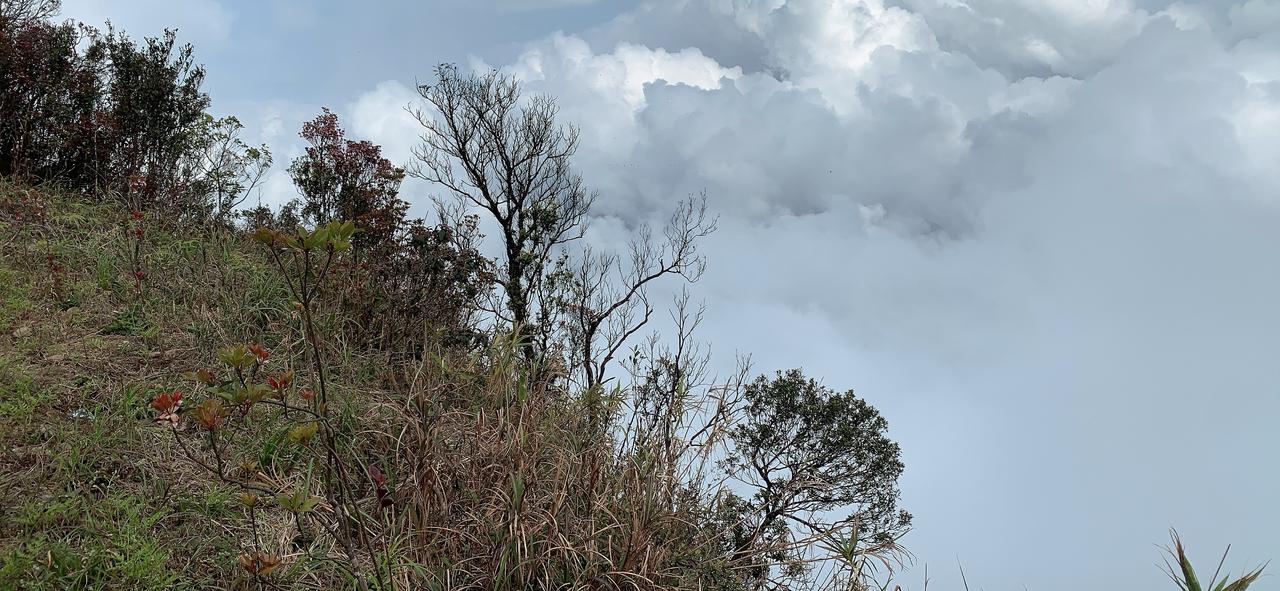
On the edge of the mountain

You can see the road

Nearing the top

The clouds are chasing us up the mountain

We pretty much have the road to ourselves

It is very pretty

Tree Ferns

Steep Inclines

Long way down

Stopped to see some monkeys
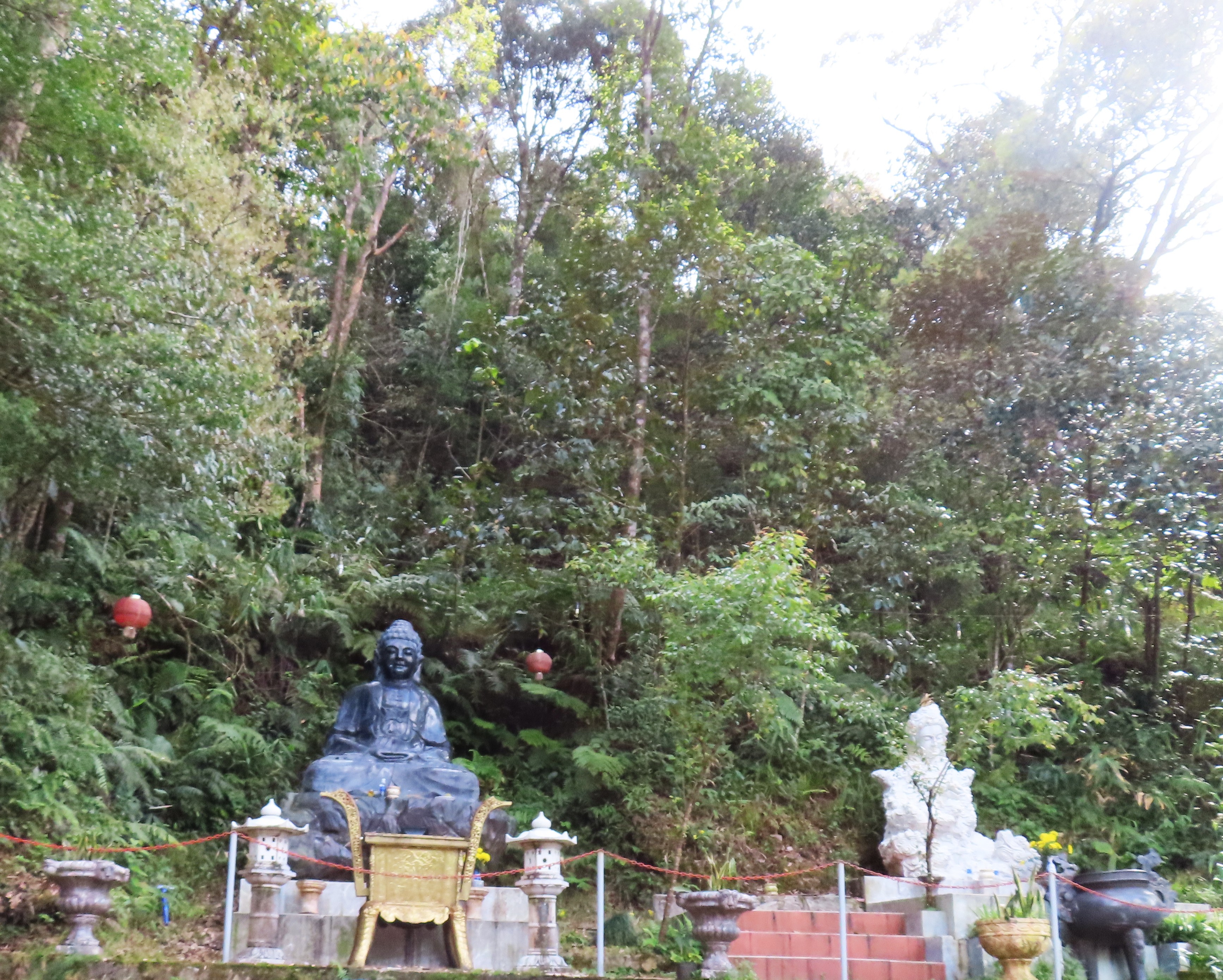
A shrine or two on the way

Timber!

We were not able to make good time, only 14 mph but a 4300 foot increase in elevation might have had a part in this. I had the workout tracker on while we were driving

No straight lines!

We are at the summit

Now we go on foot

A few villas are still standing

But they have an abandoned creepiness to them

The Viet Kong Tunnel

A bunker

Ring that bell!

Bell shaped trees were recently planted

The new trees along the path

And just like that we are engulfed by cloud

A turtle monument

Contented to have reached the top

A informative summit building

Rolled down the sleeves in the chilly air

With horses

Neigh it ain't so

Looking down a villa can be seen at the cloud line to the right

Karo took pictures of me
The edge of the world

Turtle monument

Contemplating the many stairs in front of me

It is all down hill from here

Uncle Bay is tasting local plants
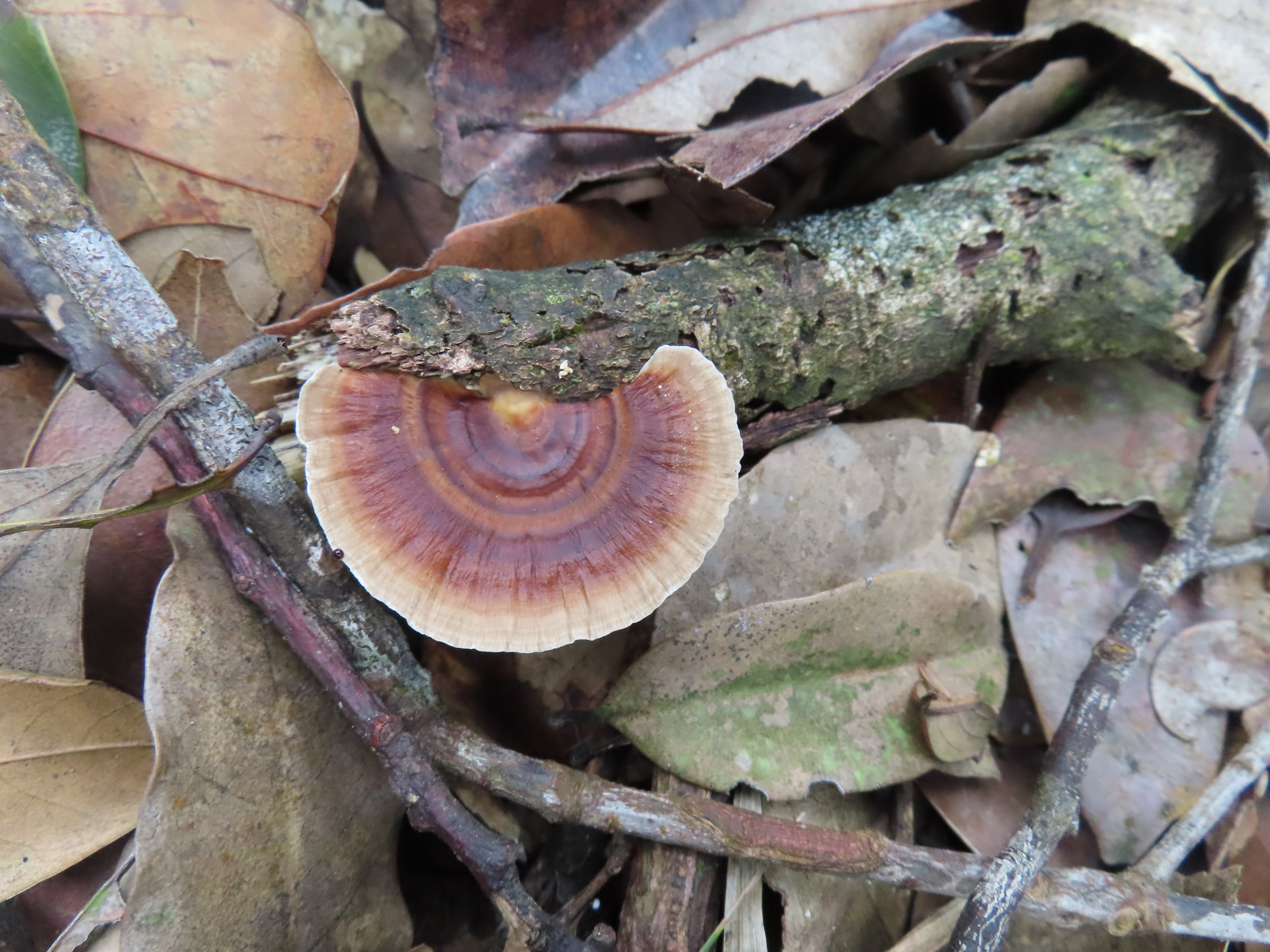
But not this mushroom

We did not go down this path

A new building that is still empty

Stately pine trees

Eco friendly trash bins

An abandoned chicken restaurant

Where all the chickens go to drink

The sign says Gala dinner 2023, so it was in operation fairly recently

Old villa ruins

A long downhill ramp

Here I saw a Blue Whistling Thrush, but could not get a picture lifebird #2 for the day

On a switchback

Classic tree silhouette

Pea soup

Uncle Bay is not too happy with the birding opportunities in this weather

Wet wet wet

This is how a river begins

It is picking up steam very quickly

Lifebird #3

A Bronzed Drongo

Lifebird #4 for the day the Puff Throated Babbler is #21 for our month in Vietnam

Burial plots

Most fancy

Unknown substance on the ground

A church back at sea level

We stopped for a snack

Some cakes and a banana leaf wrapped shrimp bit

Translucent paste, ginger and a shrimp

Moo mowing

Who hears a hoo?

I an not sure if this is a rock or some leftover concrete

Passing a few more cemeteries

Brightly decorated

Exotic chickens on the banks of lagoon #2

It is not as nice as lagoon #1

Oyster shells everywhere

These are all shells!

A huge net
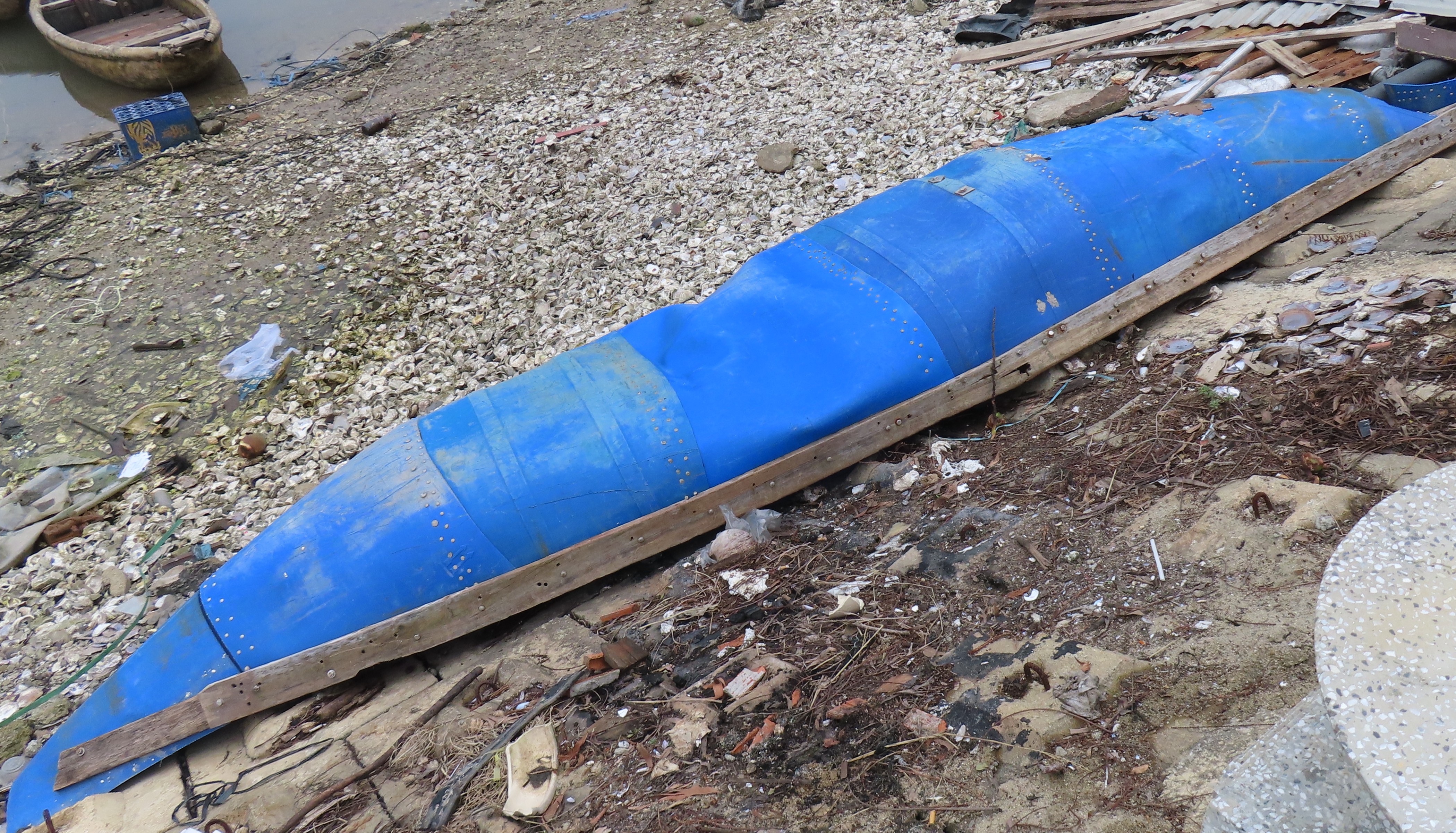
A canoe made out of blue barrels that were cut up and riveted together

Fish cages

Ousters are growing out here

A common Kingfisher

More cages

A lady was shucking oysters out on the sidewalk

A fancy seafood restaurant seemed out of place

Nothing to say on this giant sign

Heading back into the 7 km tunnel

Back in Da Nang

The spirit of Vietnam statue

A huge load of rice in the rain